CHINASE | ENGLISH
bottom
NEWS
Farming also relies on data! Chongming Districtin Shanghai installs a ‘smart’ brain for traditional agriculture
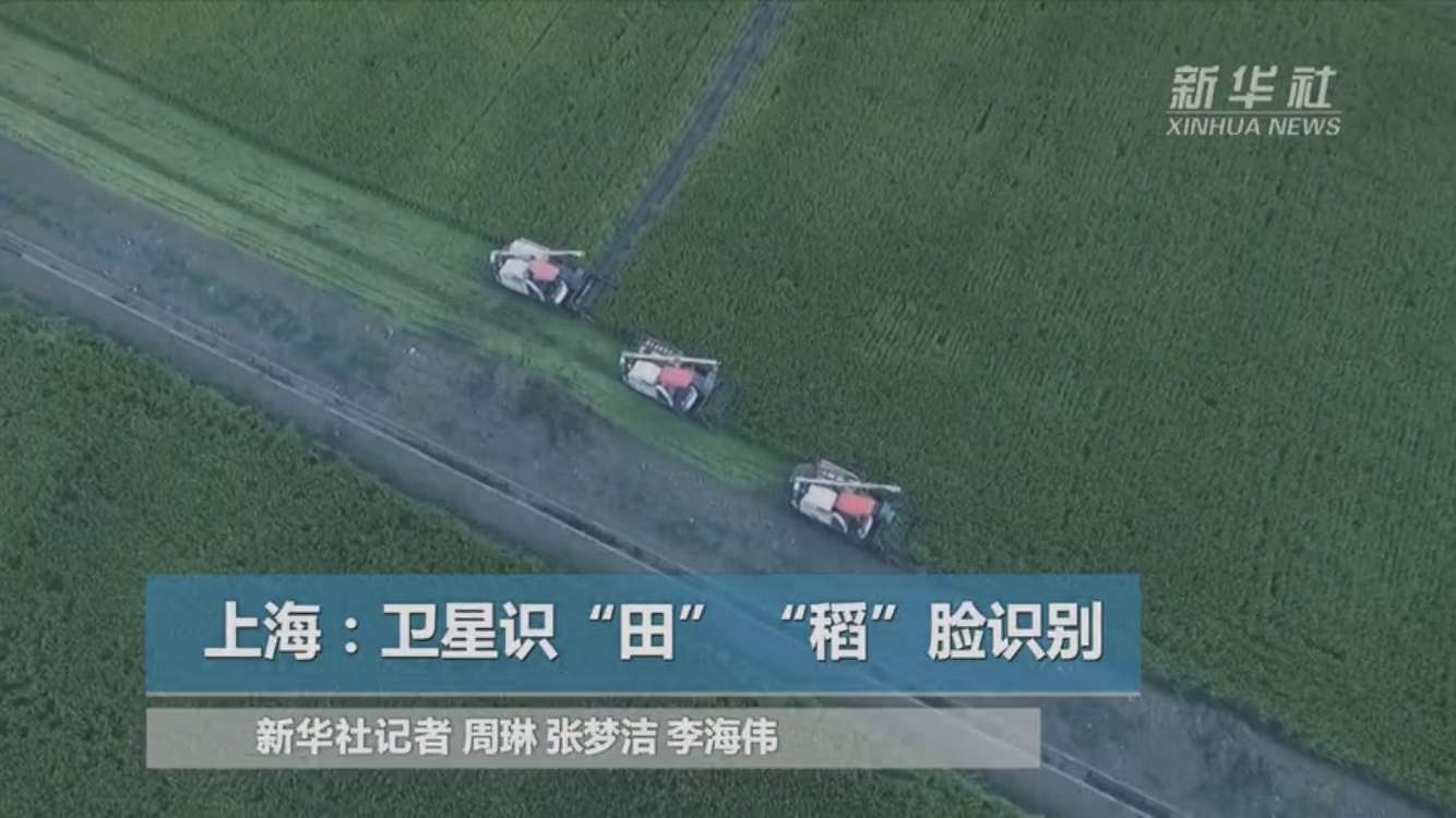
How amazing is it that the comparsion of the traditional agriculture and a "smart" brain?The “agricultural smart brain” in Chongming district of Shanghai has started trial operation recently. In the future, farming shall not only rely on “experience”, but also rely on “data”.
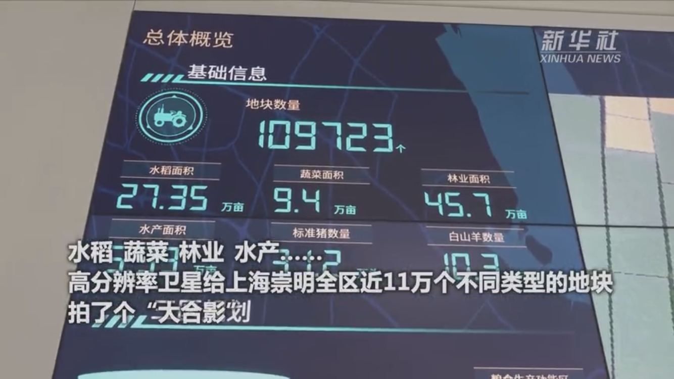
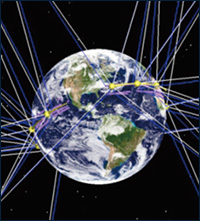
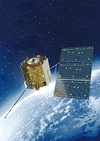
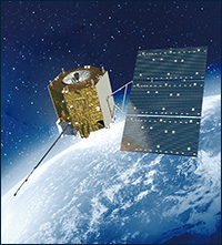
The high-resolution satellites take pictures of the plots in the area from high altitude; then the plots are accurately analyzed by algorithms; finally, a detailed whole “scan map” of the land in the area will be generated through comparison by artificial approaches.
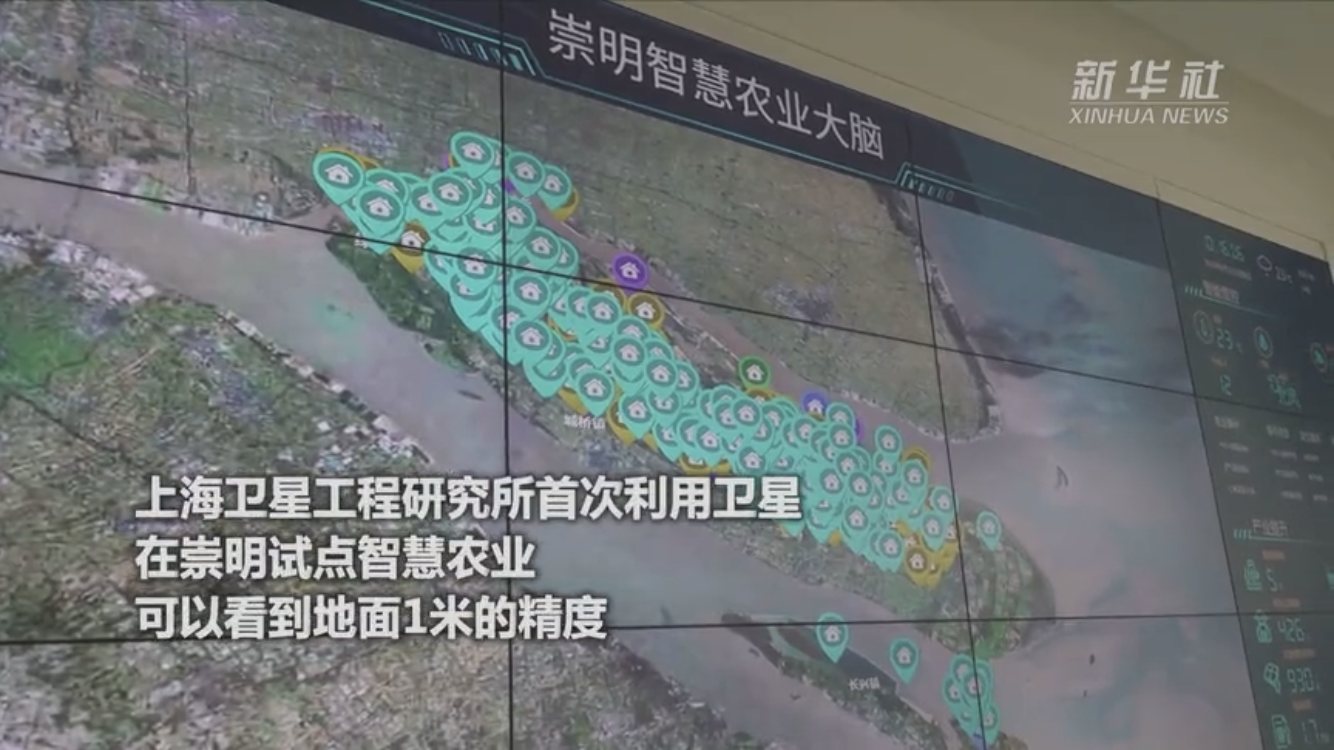
"The satellites scan the farmland and other plots in Chongming district across the board in light of the demand for agricultural production, with an accuracy of 98%.Satellite images can be utilized for early warning if there are misappropriation of plots and false reporting of areas,” said Lai Jian, head of the High-resolution Center ofShanghai Satellite Engineering Research Institute. This is the first attempt for the High-resolution Center to use satellites for smart agriculture. At present, the accuracy of satellite observation on the ground can reach 1 meter, and high-resolution remote sensing images of two phases from February to April and July to September have been formed.
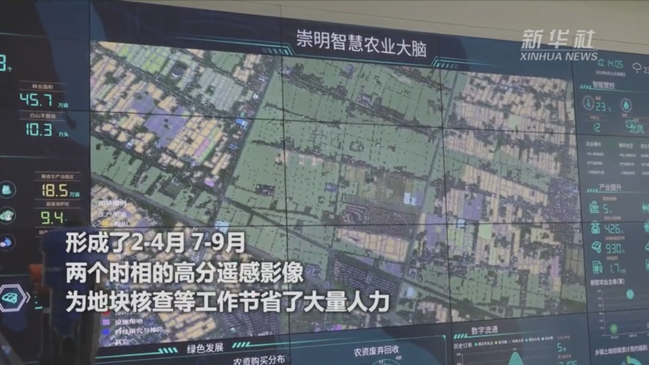
This “scan map” enables to save a lot of manpower and time for plot verification and other work. In the past, if we issue agricultural subsidies, we need to verify the data artificially, which used to take three to four months; nowadays it is only necessary to compare the data with the satellite image. The results are absolutely clear. “Subsidies can be distributed to farmers in a more precise and rapid manner,” said Chen Jiwei, head of the Industrial Development Section of the Agricultural and Rural Committee of Chongming District.
China’s meteorological satellites have so far provided with satellite data and data products to over 2,700 users in 98 countries and regions around the world, and the use of high-resolution satellite data is just at the beginning, according to Deng Chengchen, Director of Marketing Department, Shanghai Satellite Engineering Research Institute. “Image recognition and calculation technology supported by satellite data can provide reference for government decision-making, such as the food production estimation and the crop selection,” he said.
In Chongming district, the reporter saw that about one hundred sensors have been installed in five test bases such as Beihu, Xinping and Chunrun. These sensors can not only identify farmers' agricultural practices such as artificial weeding, pest control and harvesting in farmland, but also support intelligent identification of crops such as rice to compare the diseases of rice through artificial intelligence.
This system also tries to give “treatment” after identifying “diseases”. Reportedly, when the type of pests and diseases is identified, the system will automatically give the suggestions on the next measure, which is used to guide the farmers to deal with them in a timely manner after the approval of the double review of agricultural experts.
“The identification provided by the camera can help farmers to identify and compare the agricultural practices like the utilization of more fertilizer and more pesticides, which can ensure the green and safe food planting at the source," Chen Jiwei said.
At present, this “smart brain” has started trial operation and the attempt of smart agriculture is also just at the beginning. Chongming will make continuous steps to open data channel, expand applications, and bring in more digital technologies to guide agricultural production.
Source:Xinhua





 DOWNLOAD
 E-MAIL