


CHINASE | ENGLISH
bottom
 DOWNLOAD
 E-MAIL

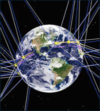
NEWS
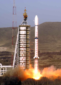
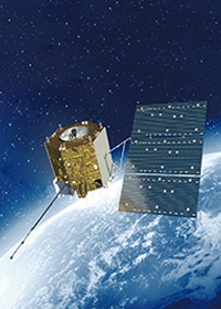
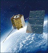
The successful launch of FY - 4 satellite realizes the spanning development of remote sensing satellites in China
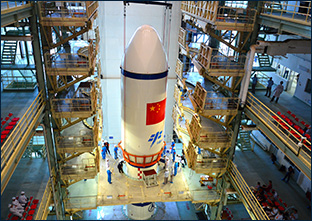
At 0:11 on December 11, 2016,
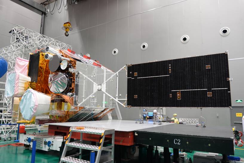
FY-4 adopts SAST5000 bus, with payloads of Advanced Geostationary Radiation Imager (AGRI), Geostationary Interferometric Infrared Sounder (GIIRS), Lightning Mapping Imager (LMI) and Space Environment Package (SEP), whose load type and primary specification is comparable to that of the same period geostationary orbit meteorological satellite of GOES-R (NASA) and MTG (ESA). The main development objectives are: upgrading the attitude stabilization mode (from spin stabilization to three-axis stabilization); improving the imaging device performance by increasing the time resolution and regional mobile detection capabilities; carrying advanced small and medium scale microvave detection payloads for three-dimensional earth meteorological remote sensing; adopting novel extreme ultraviolet and solar X-ray observing techniques to enhance space weather monitoring and warning.
AGRI is configured with 14 bands which could achieve high resolution visible, near infrared, medium and long wave infrared multispectral observation. In terms of observation range, AGRI could realize conventional full disk observation and high frequency intensive observation of small areas under the circumstance of sudden weather disasters.
GIIRS is the first hyper-spectral instrument in GEO orbit. It detects vertical profile of atmospheric temperature and water vapor in interference imaging method, which could acquire atmospheric temperature and water vapor profile and content of trace gases over the observation area at high frequency, to accomplish parameter measurements of vertical structure of water vapor and temperature.Realize 3-D detection of atmosphere; provide input data for numerical weather prediction.
LMI in GEO real-time observation of strong convective weather phenomenon could provide basis for lightning forecasting and global climate change research, which could also offer necessary scientific data for strong convective weather phenomenon observation, forecasting and research over